01
3D Laser Scanning
High-density on-site capture of interiors, exteriors, architecture, boats and heritage. One visit, a complete dataset.
KS-3Design is a technical studio on the French Riviera. We laser-scan buildings, yachts and heritage sites at millimetre accuracy, then deliver point clouds, BIM models, 2D plans, digital twins and 360° tours your whole team can build on.
From on-site capture to structured digital deliverables - handled end to end by one team, no hand-offs lost in translation.
High-density on-site capture of interiors, exteriors, architecture, boats and heritage. One visit, a complete dataset.
Scan data turned into structured Revit/BIM models, 2D plans and as-built documentation with usable object information.
Immersive, navigable visits with dollhouse view, floor plan and hotspots - explored from anywhere.
Reliable digital records for design, renovation, construction and asset management - readable by every stakeholder.
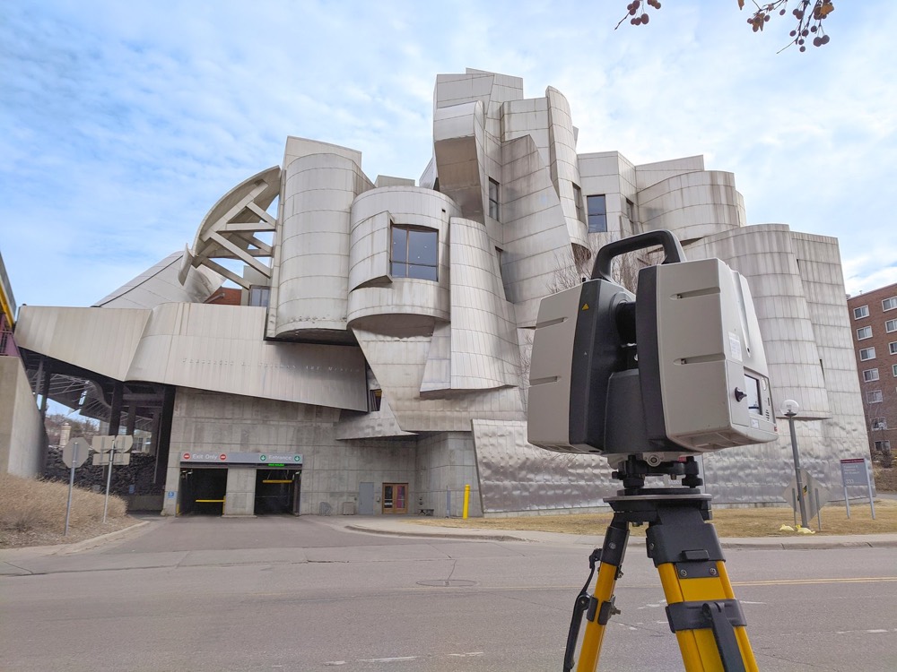
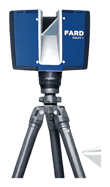
We capture with a high-precision terrestrial 3D laser scanner - millions of points per second, millimetre accuracy, indoors and out. The same instrument behind every point cloud, BIM model and digital twin we deliver.
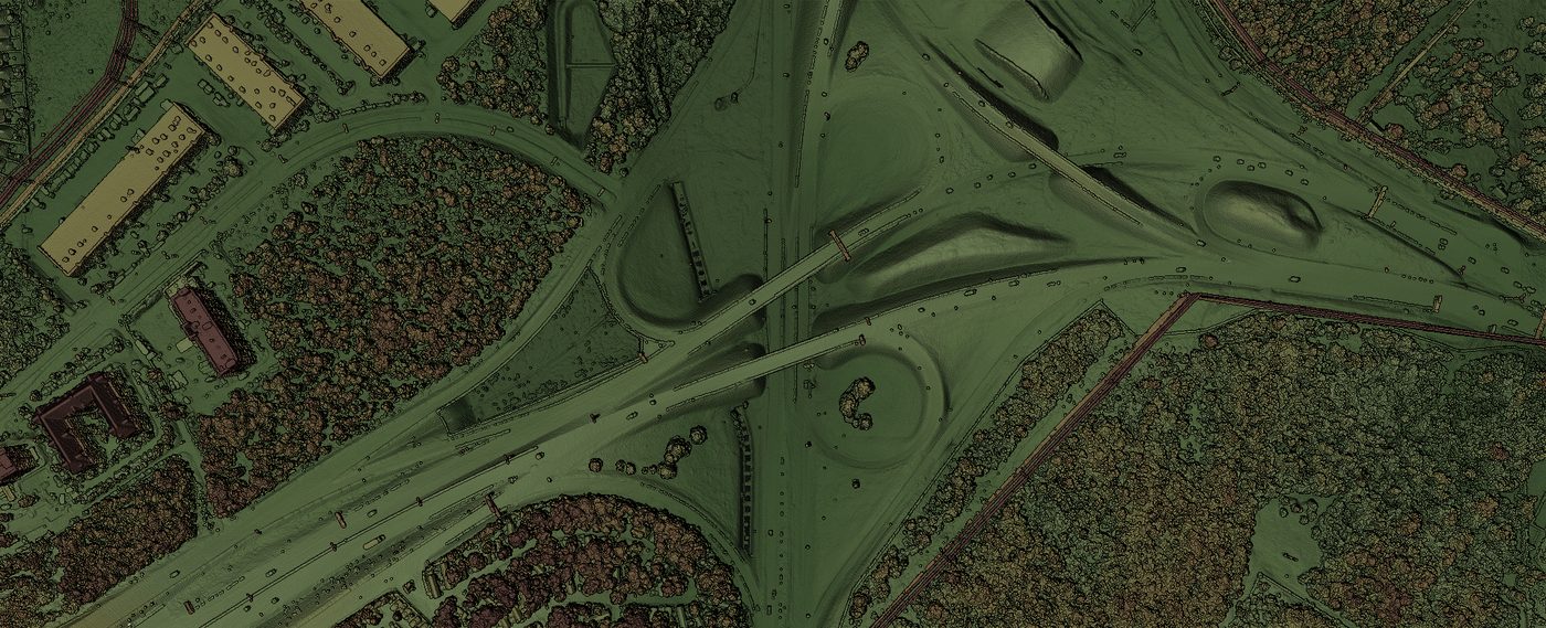
Concrete, technical outputs - not vague promises. Select an item to inspect it.
From existing buildings to boats and complex interiors, precise scanning creates a reliable foundation for design, renovation and documentation.
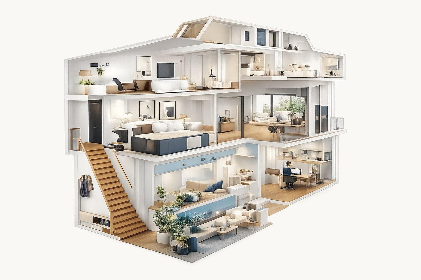
Give clients, teams and stakeholders a clear way to explore a space remotely - interactive tours, floor plans, hotspots and cloud access.
We convert precise measurements into structured BIM models, 2D plans, digital twins and technical records that support design, renovation, construction and asset management.
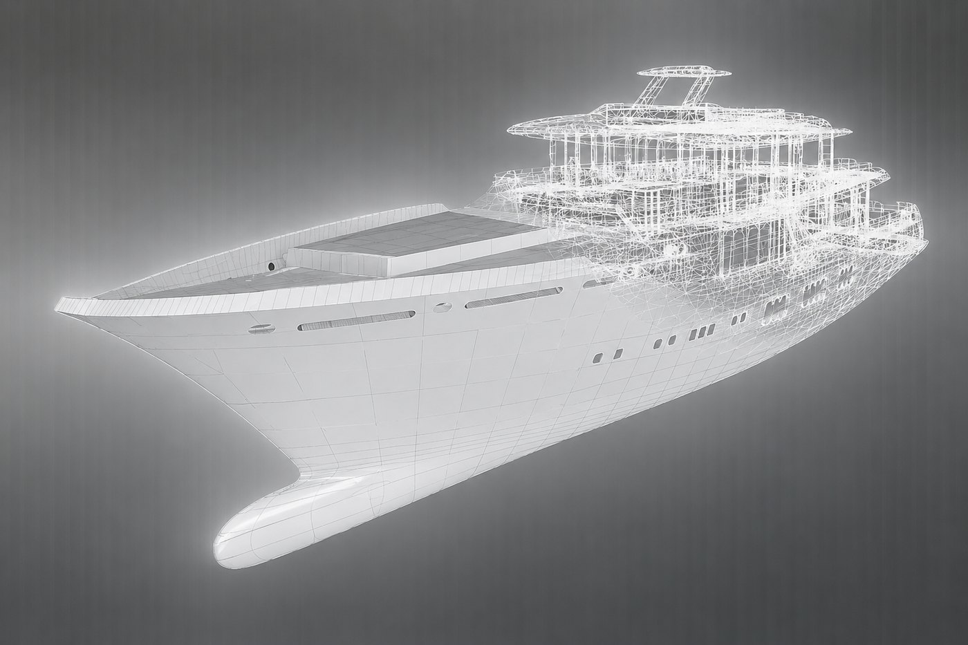
Every file is prepared to be reviewed, shared and used without friction - precise enough for technical teams, clear enough for decisions.
Every deliverable starts from captured site data, then moves into plans, models or tours with a traceable technical basis.
Architects, owners, contractors and asset managers receive outputs that are structured, named and easy to review.
The final package is built for renovation, coordination, documentation and long-term asset management.
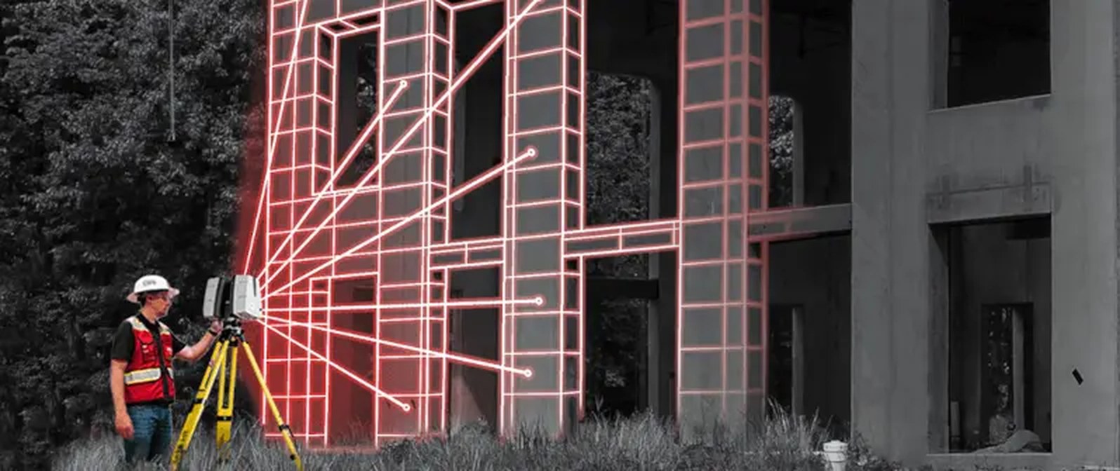
We define scope, accuracy and deliverables with you before anyone leaves for site.
High-precision FARO laser capture of the real space - interior and exterior.
Registration and cleanup into one unified, measurable dataset.
Structured models, 2D plans and immersive deliverables built from the data.
Secure access, controlled sharing and ongoing project support.
Send your plans, a site address or a short project scope by email - we assess the best capture method and the right deliverables, and reply within one business day.
Reply within one business day · French Riviera & beyond